Welcome to the heart of Thuringia and the Rhön biosphere reserve!
This map is based on a real region near the Hessian border.
This project is still at the beginning and therefore the map will become more beautiful, better and more detailed in the future.
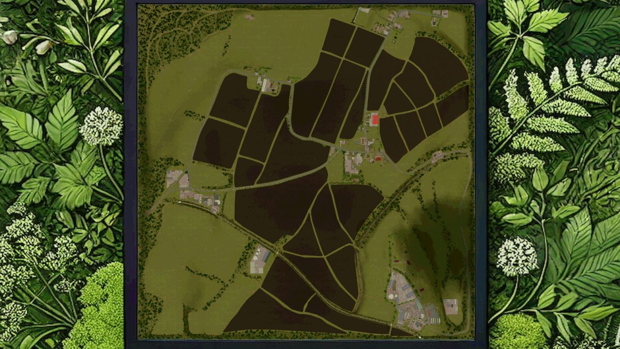
On the map you will find:
– 29 fields (between 1.7 and 14 ha)
– 43 meadows (between 0.2 and 6.5 ha)
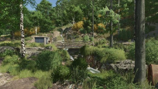
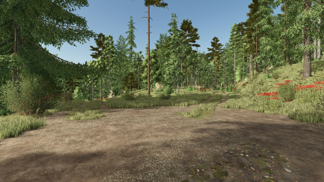
– 7 forest areas
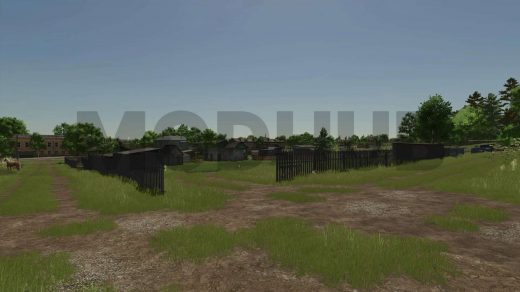
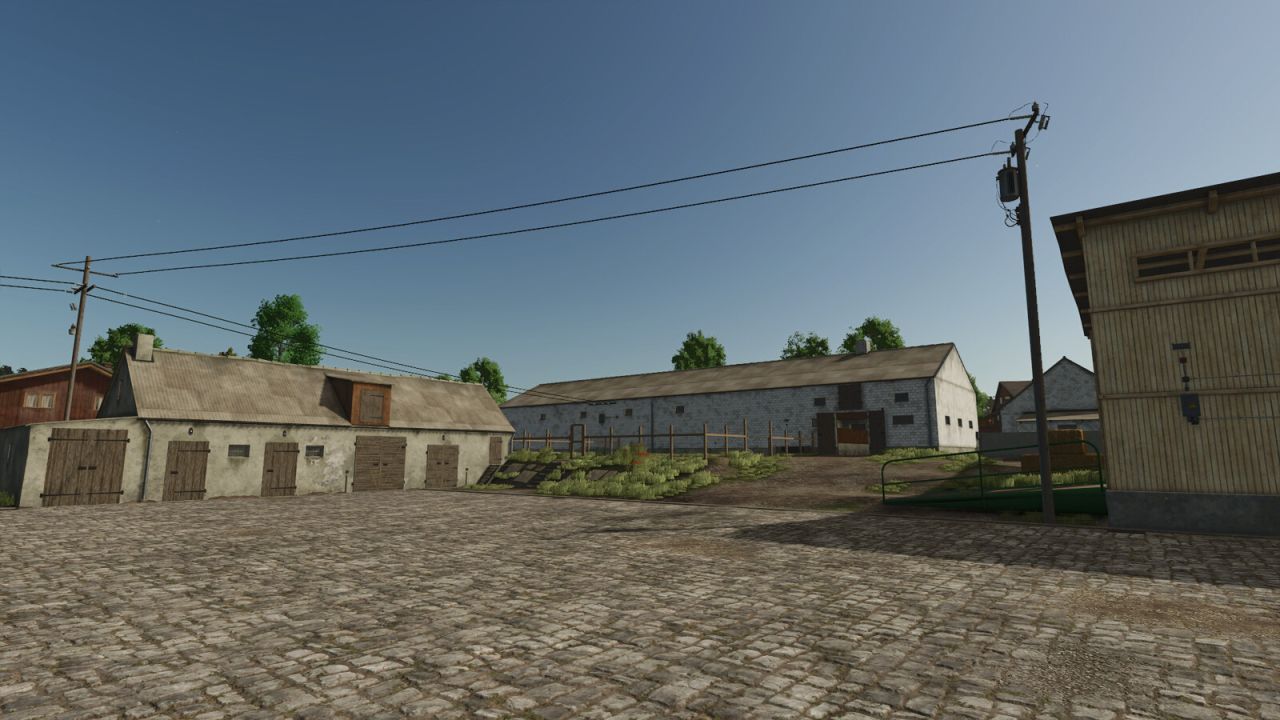
– 5 farms of different sizes
– approx. 15000 trees
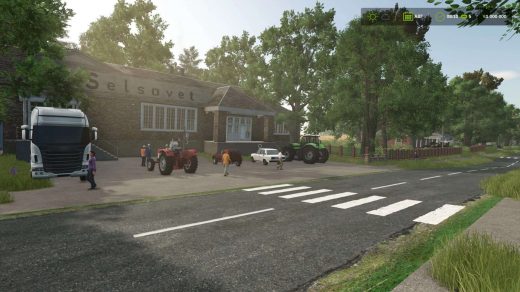
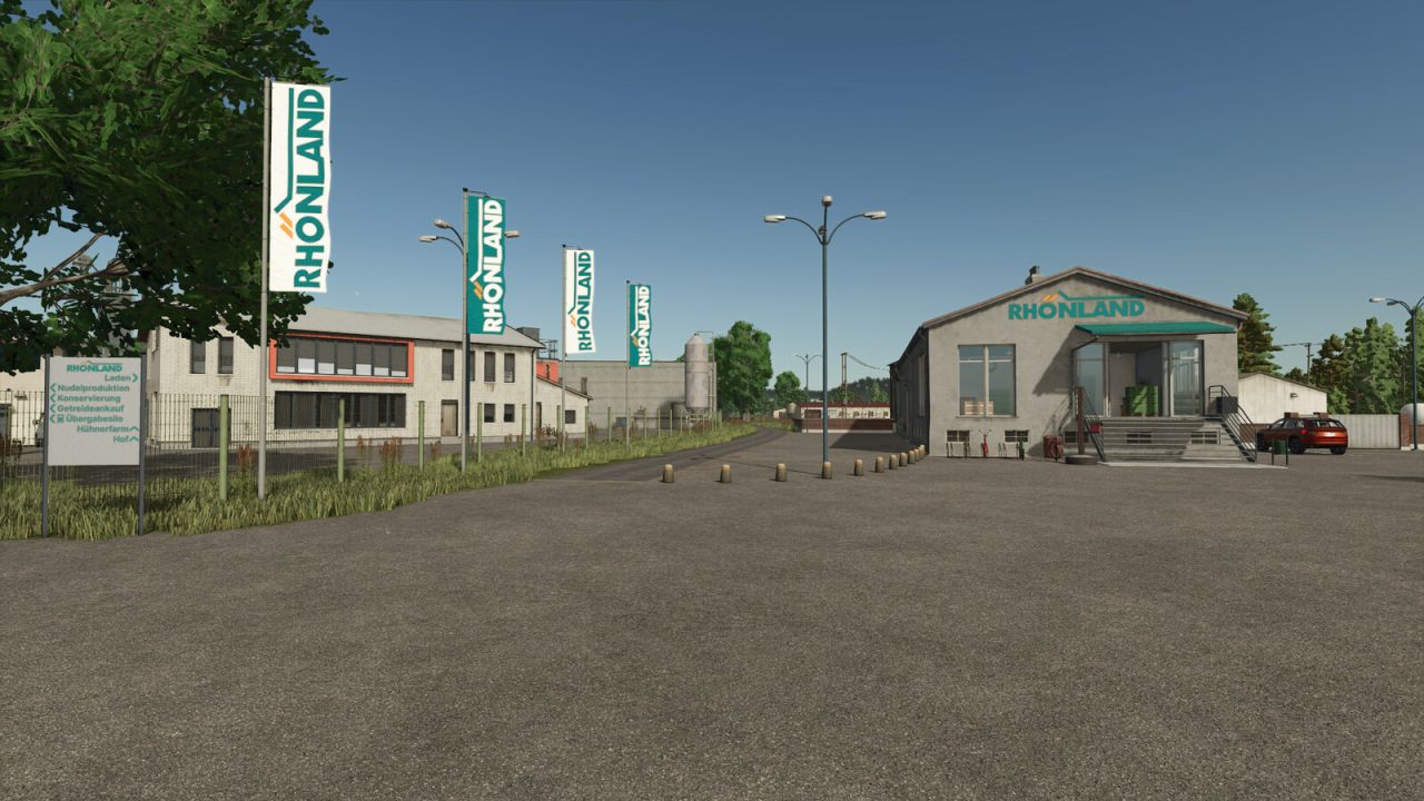
– Rhönland as a regional agricultural enterprise
– various productions
– a single BGA, a smaller one on the Rhönland farm
– a large chicken farm
– an open-air garden
– well-developed helper roads
– Water can be taken from the ponds and the river
– Spruce trees can be built and planted
– Milking station at the main farm
– Irrigation system in the garden
– Local car license plates
– NPCs to help you enter the map
– Companies have opening hours (gates open accordingly)